Remote sensing: For real-time decisions
Thanks to the democratization of satellite data, companies use geospatial imaging to make real-time decisions. Still, many find the process costly and confusing, especially if they lack in-house experts. We have solutions for that.
GeoSapient helps companies find, identify, analyze, and archive data volumes for timely, efficient decision making. Our customers discover and access geospatial data and models quickly and intuitively. Contact us and find out how you can manage your global supply chains from the sky.
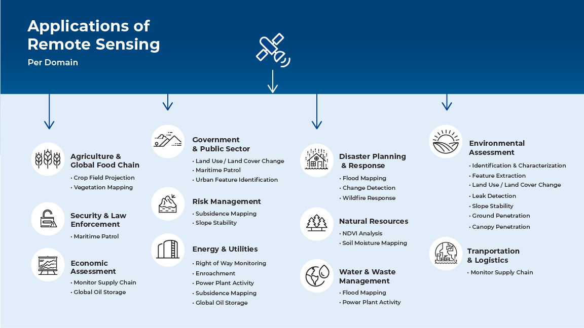
Remote sensing: An effective tool for many industries
Remote sensing is very effective in the detection of methane and carbon dioxide. Applications include leak detection, power plant activity, wildfire response, and supply chain monitoring, which serves a multitude of industries. At GeoSapient, we focus our work on the Energy and Environment industries.

